Tag: photography

Calendar 2012

The past few years I have been making calendars for Christmas presents, it’s an opportunity to hunt through the photos for the year. Some of these I took, and some were taken by The Inelegant Gardener (Mrs SomeBeans).

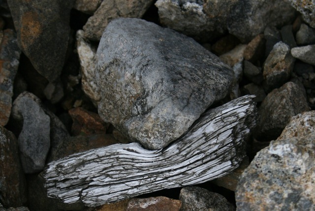
00 - Cover - Wood bent around rock

Cover – a slightly arty picture of a piece of wood and a pebble taken on the remnants of a lead mine in the Yorkshire Dales. I wrote about the lead mines here.

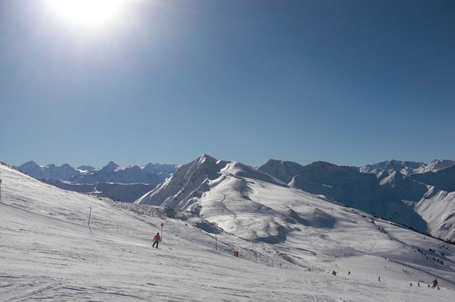
01 - January - View from below Schattberg West

January – Skiing in Austria, this is close to Hinterglemm. A short description of our holiday and some more pictures here.

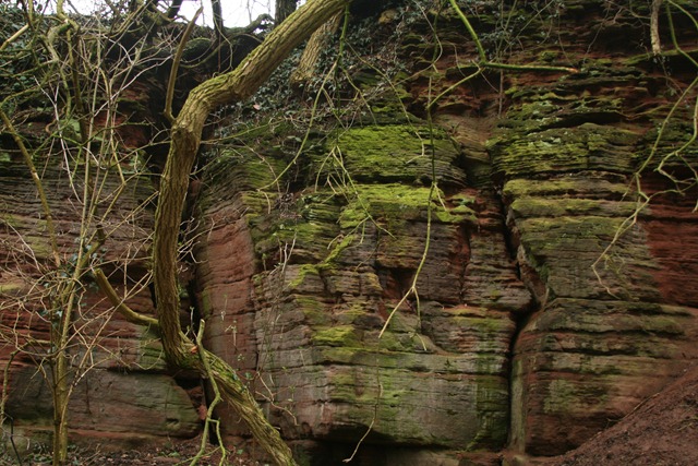
02 - February - Sandstone

February – Sandstone, from the Sandstone Trail which runs from Frodsham to Whitchurch. More enthusiastic walkers cover this distance in a couple of days – we took months!

03 - March - Pussy Willow Catkin

March – Pussy willow catkin, this was taken on the flat muddy slog across the Cheshire Gap.

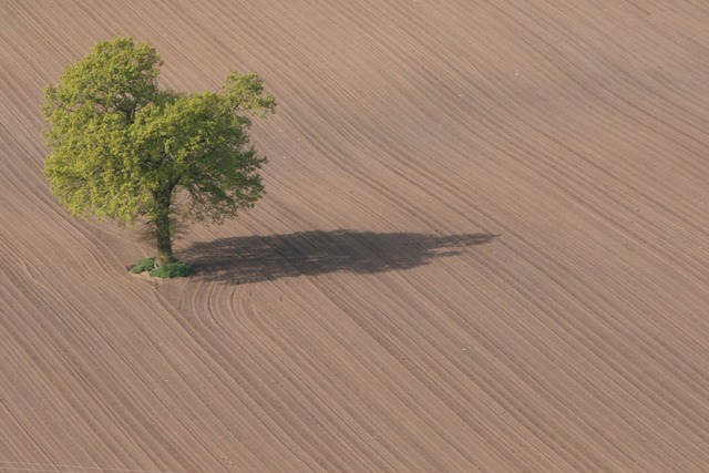
04 - April - Ploughed field

April – a ploughed field and a tree, I like the texture of the ploughed field.

05May

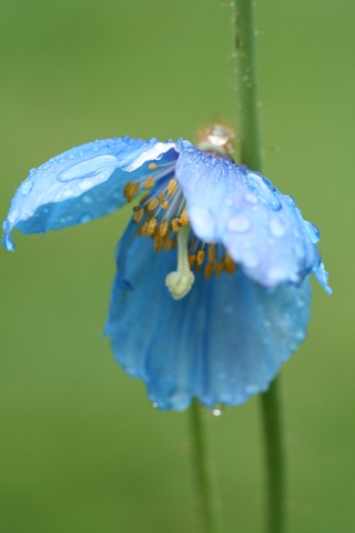
May – Blue poppy (mecanopsis)  symbol of Mrs SomeBeans’ latest venture: Blue Poppy Garden Design.

06 - June - Astrantia

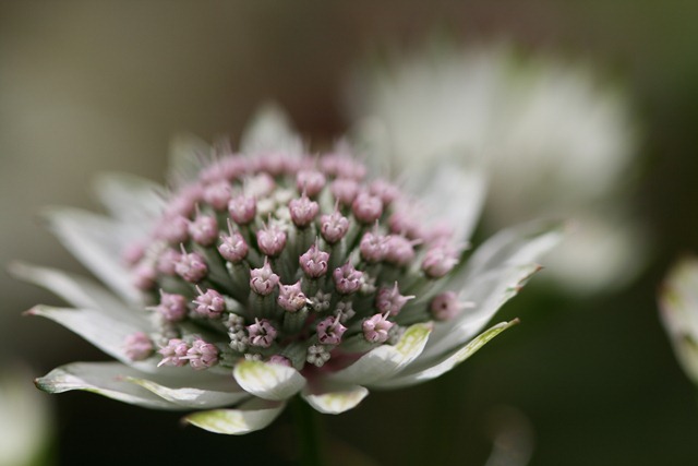
June – Astrantia, another photo by Mrs SomeBeans nice use of depth of field and my macro lens!

07July

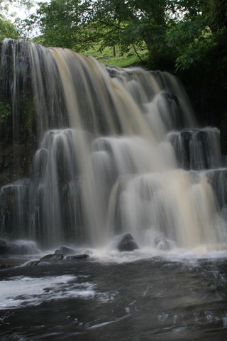
July – Kisdon Force in the Yorkshire Dales, scene of this years summer holiday – we stayed in Reeth.

08 - August - Town Hall Detail

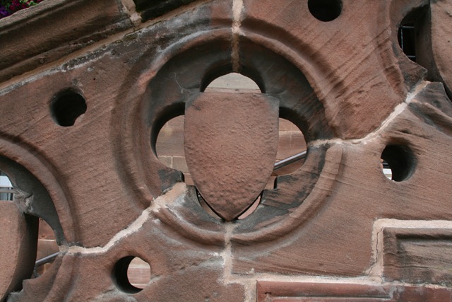
August – a very small detail on Chester City Hall, this wasn’t the most newsworthy event of the month of August. This was.

09 - September - Meddlars and squashes

September – Medlars and squashes, medlars are known as “cul du chien” in French.

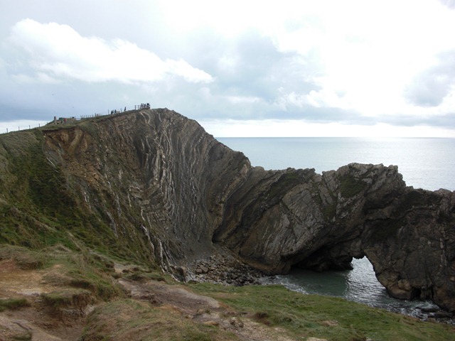
10 - October - Stair Hole

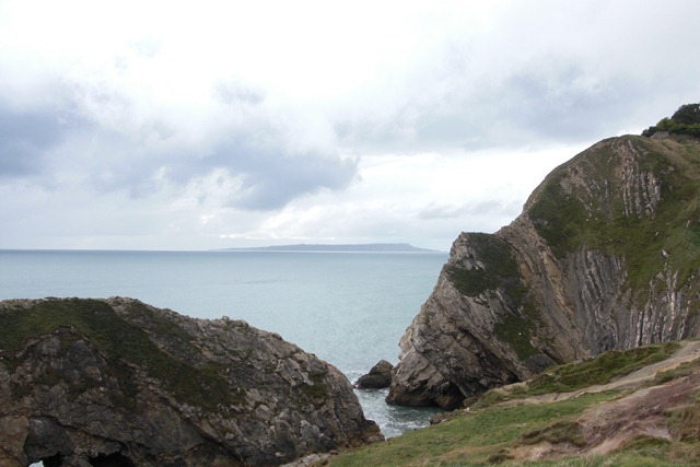
October – Stair Hole near Lulworth Cove with Portland in the distance. Down to the South Coast to visit my family over half-term. This is 5 miles from where I grew up.

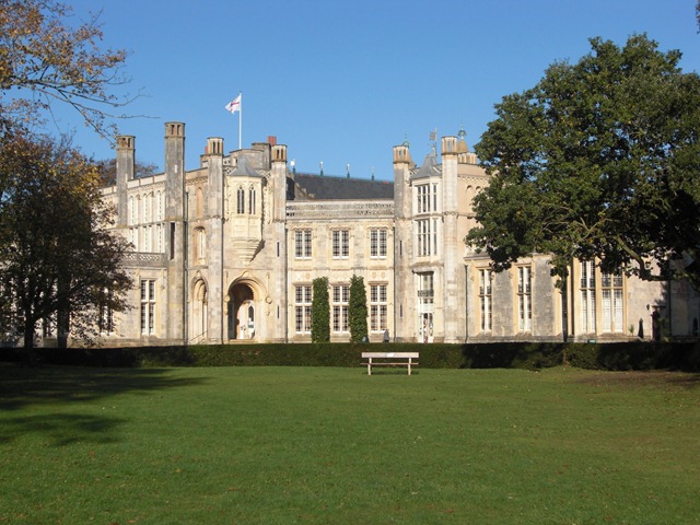
11 - November - Highcliffe Castle

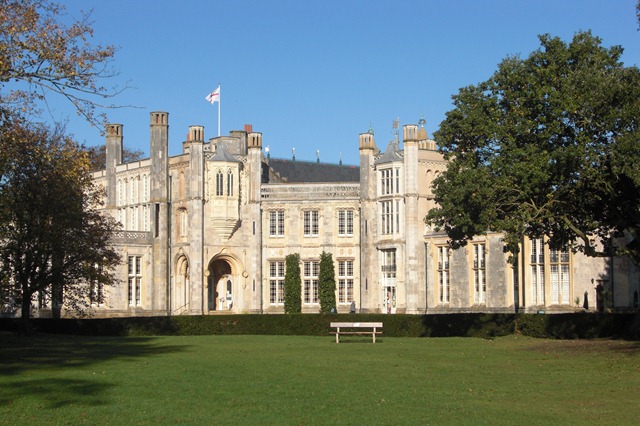
November – Highcliffe Castle on the cliffs by Mudeford, also taken on our trip to the South Coast.

12 - December

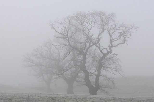
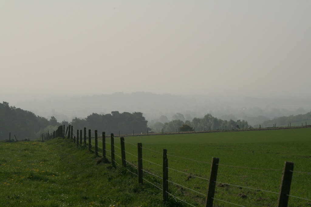
December – trees in the fog and frost, this one is a ringer – I took it a couple of years ago from along the Shropshire Union Canal.

Going Home

For the half-term holiday, The Inelegant Gardener and I went on a road-trip to visit my parents in the deep south… of England via Malvern where The Inelegant Gardener’s father lives.

The first stop on the tour is Wool, where I grew up. It’s the furthest I’ve ever lived from a motorway: about an hour and a half from the M5 in Somerset. On the way we pass the outskirts of Dorchester where Prince Charles’ model village, Poundbury, is plonked down incongruously on top of hill, it’s pretty pricey. I experience a navigation fail since the bypass is largely new since I left 20 or so years ago and my mental map is slow to update.

Signposts near Wool are decorated with a graphic of a tank (for The Tank Museum) and a monkey (for Monkey World).

The Inelegant Gardener is always amused by the signpost at the edge of the village for “New Buildings”, it’s been there since I was a child. Funnily enough there are new buildings close to the sign in the form of Purbeck Gates, a new development of 160 houses just approaching completion.

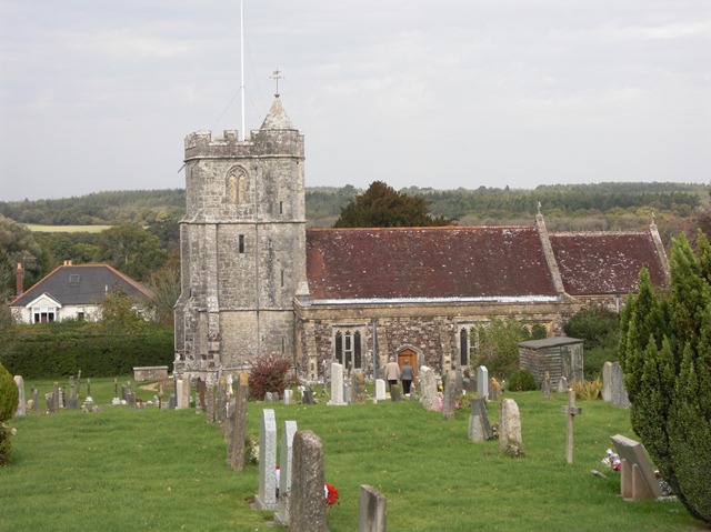
Even for a middle-aged atheist like me, it seems the church is the best image of the village, this is the Anglican church where Father Smedley dropped me on my back whilst demonstrating the christening ceremony to the religious education class.

Church of England, Wool

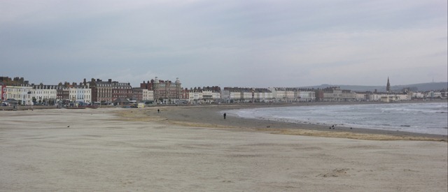
Whilst staying in Wool we went off for a morning in Weymouth, there’s much road building going on since Weymouth will host part of the 2012 Olympics: the sailing part. There is also controversy since upgrading the roads approaching Weymouth will simply dump traffic faster into a small town that can’t handle it, furthermore the council appears to be thinking about charging people to access public land to view the sporting events.

Weymouth Bay

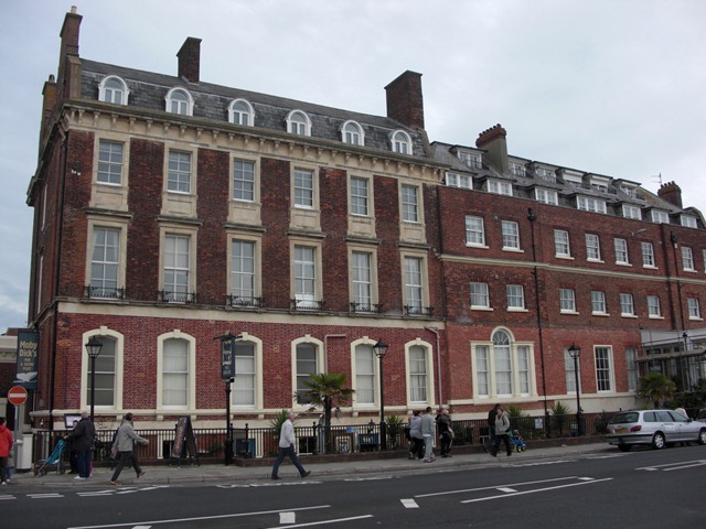
Weymouth has some rather fine Georgian and Regency Buildings.

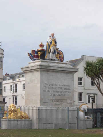
Fine Georgian buildings on the Esplande, WeymouthIt was an early seaside resort, visited by George III. This is commemorated by a chalk horse on the road out of the town. There is also a statue celebrating his 50th year on the throne.

Statue of George III, 50th anniversary 1809/10

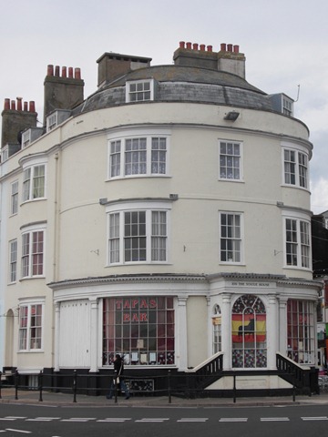
This is the house where my maternal grandmother started her working life in service at the age of 16, in around 1935:

109, The Statue House, Weymouth where Granny Hart started in service 1935

I’ve always rather liked Weymouth but we rarely visited when I was a child, it turns out this is because my mum went to school in Weymouth and this has put her off the town ever since!

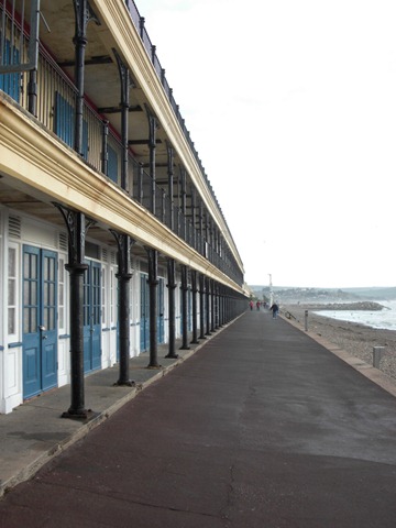
We saw a lot of beach huts on our trip, these are some rather smart examples from Weymouth.

Beach huts on Weymouth Bay

We also visited Lulworth Cove, familiar to many as a geology field trip destination. This is Stair Hole:

Stair Hole (1/3)

I tend to take my home coast for granted, it is now branded “The Jurassic Coast”, and it’s spectacular!

Next stop Southbourne where my dad now lives with my stepmother, this is outside my home territory but not that far away.

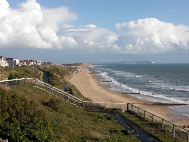
Here you can see the lie of the land, with Hengistbury Head directly ahead and the Isle of Wight featuring the “Polar Bear” in the distance to the right.

Isle of Wight from Southbourne Beach

We went off to Mudeford, where Highcliffe Castle sits on the top of the cliff as you can see – glorious blue skies.

Highcliffe Castle

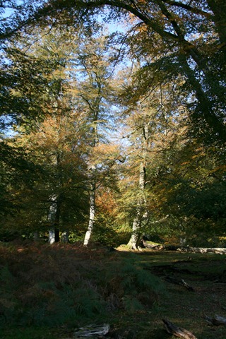
And to finish the trip we went up to the New Forest, Britain’s most recently created National Park. This is a woodland glade close to where dad wants his ashes scattering:

Woodland Glade

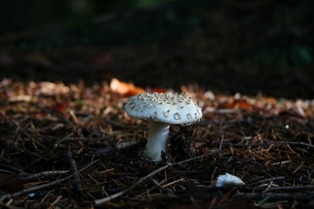
And here’s a mushroom…

Fungus

There was quite a lot of rainfall during the week!

Photographing Chester

I’ve lived in Chester for 7 years but realised recently I have scarcely any photos of the city, so a few weeks ago I went off on a morning of indiscriminate photography using a Canon EF-S 10-22mm f3.5-4.5 on my Canon 400D. You can see the results of my labours on this and an earlier trip here.

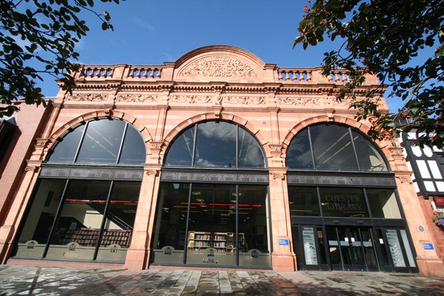
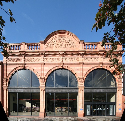
The 10-22mm lens is a nice, very wide-angle lens but as you can see below it can produce some odd effects when used close-up to take picture of buildings. This can be seen in the picture of Chester Library shown below:

Chester Library

The library is housed in the old Westminster Coach and Motor Car Works, built around 1913-14 with a rather nice brick and terracotta front (see history here).

Aside from my usual problem of apparently having one leg shorter than the other, the verticals in the building converge. The “short-leg” problem can be fixed using Picasa, the aesthetic problem of converging verticals needs a different approach.

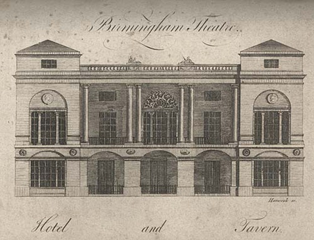
It’s worth pointing out that the image shown above is “correct” in the sense that the vertical lines of the building should converge because the top of the building is further away from the photographer than the bottom of the building. This problem is more severe when using a wide-angle lens. I want something that looks like the image below; what’s sometimes known as an “architectural projection”.

TheatreRoyalBirminghamWyatt1780

In the old days an architectural projection could be achieved using tilt-shift lenses or rather odd darkroom techniques. By the way, Cambridge in Colour, linked to for tilt-shift above is my first port of call for the mechanics of all manner of photographic things.

These days perspective corrections of this sort can be achieved using software, such as Hugin. Hugin is designed as a photostitching software but as a side-effect of this it needs to have all manner “projective geometry” knowledge. Projective geometry relates the real, 3D world to what will appear in a camera (a 2D projection of that world); it’s important in machine vision applications, computer graphics and in this sort of image processing.

The process of “correcting” converging verticals is described in a very good tutorial on the Hugin website. There is also a related perspective correction tutorial, this stops both horizontal and vertical lines from converging, this can have the effect of shifting you from an oblique view to a square on view (sort of). Applying this to my original image of the library we get this:

Chester Library

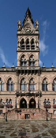
Which I find rather pleasing. This is Chester Town Hall, built in 1869, similarly treated:

Chester City Hall

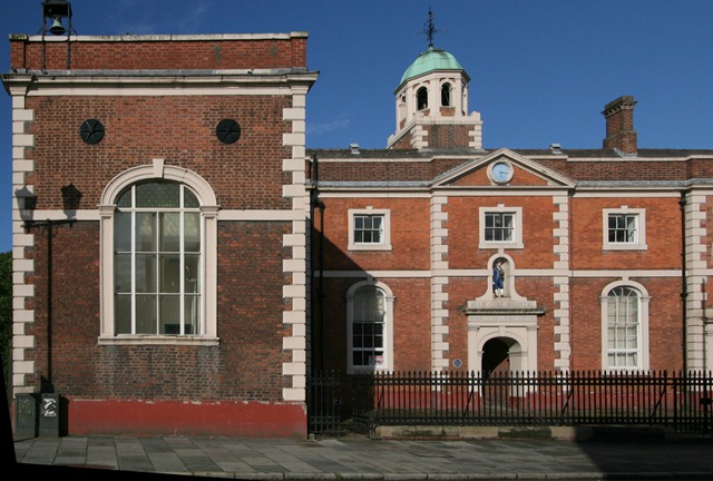
Finally, the Blue Coat “Hospital” which was never a hospital but actually a school, it’s also a demonstration of the perspective correction pushed a little too far, something odd is going on with the dome tower. This is because the things I am applying a warp to are not all in the same plane.

Blue Coat Hospital

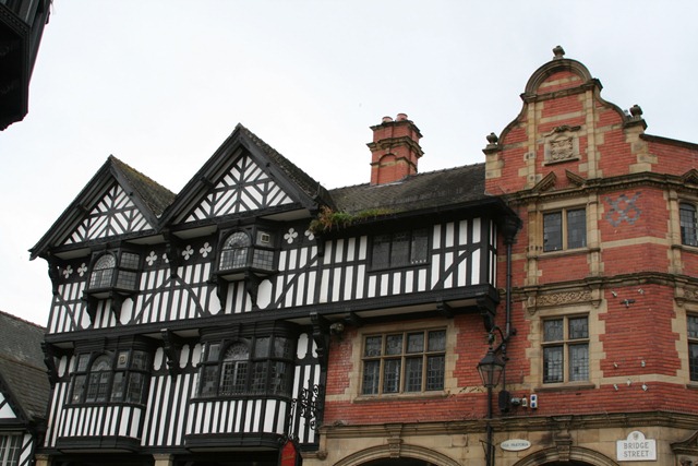
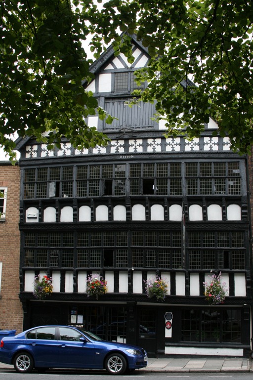
It’s easy to grow familiar with a place, not realising it is a little bit special. Chester really is architecturally special although it’s at times like this I wish there was a filter for modern signage and vehicles. There are a number of black and white “timber framed” buildings, often these are “mock” dating back to the late 19th century:

Building on the Watergate/Bridge Street Corner Whilst others are genuinely old, such as the Bear and Billet Inn built in 1664:

Bear and Billet Inn

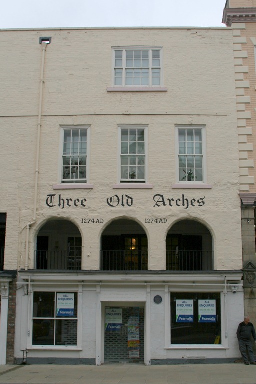
The Three Old Arches is reputedly the oldest shop front in England:

Three Old Arches dates 1274AD

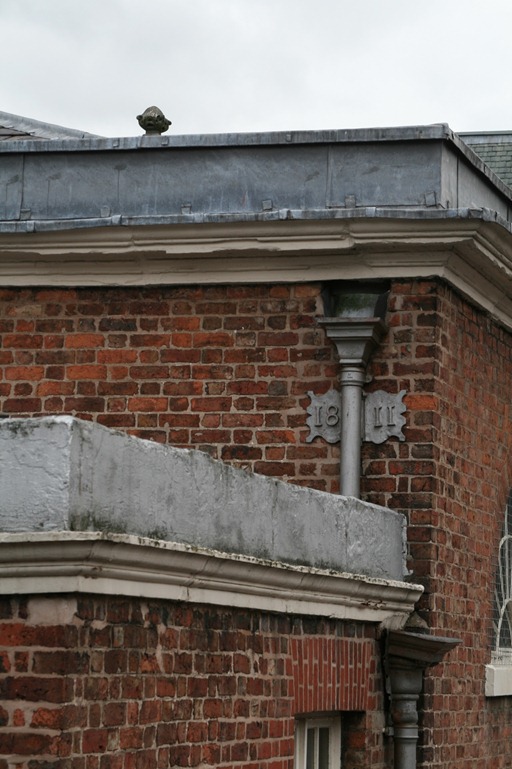
And there are all manner of interesting little twiddly bits, I keep spotting more of these each time I visit now:

Back of a building on St Johns Street

A load more of my photos of Chester here.


Chester

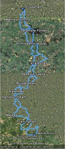
The Sandstone Trail

SandstoneTrailCropped

The Sandstone Trail walks (click to go to Google Maps)

These days we frequently hear stories of heroic acts of walking: to the Poles, across the Andes, up the Amazon, often undertaken at great speed or under conditions of considerable disability.

This little post is a record of our trek down the Sandstone Trail, 34 miles close to our home in Chester. Our route, drawn from “Circular walks along the Sandstone Trail” by Carl Rogers, adds up to a total of 77 miles. These distances are the sort of things that serious trekkers would cover in less than 24 hours, probably combined with a swim and a 100 miles cycle. Our effort was rather more leisurely – it took us about 14 months. Traditionally we walk on a Sunday morning, usually finishing before lunch.

The Sandstone Trail is covered in 13 walks:

  1. Frodsham
  2. Manley Common
  3. Delamere Forest
  4. Primrosehill Wood
  5. Tarporley
  6. Beeston Castle
  7. Peckforton
  8. Burwardsley
  9. Rawhead
  10. Hampton Heath
  11. Malpas
  12. Tushingham
  13. Whitchurch

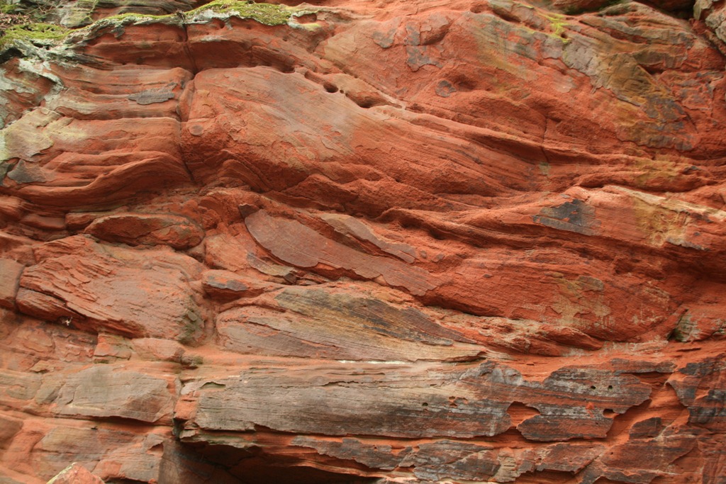
These range in length from 5 to 8 miles.  To start off, here is some of the eponymous sandstone, in this case from above Frodsham:

Sandstone

Sherwood Sandstone Group from above Frodsham

The sandstone is from the Sherwood Sandstone Group laid down in the Early Triassic, 250 million years ago.

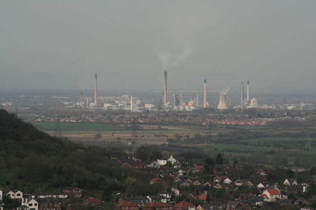
The small town of Frodsham lies close to the Mersey Estuary and after you have climbed up onto the sandstone heights above the town you get a fine view towards Liverpool and across the industrial works at Stanlow refinery and Runcorn. I’m rather fond of these, Runcorn is a fine collection of pipes, tubes and the odd ball shaped thing whilst the Stanlow refinery looks like something out of Bladerunner; at night they are lit up with gas flaring off on some of the chimneys.

IMG_5083

Stanlow Oil Refinery

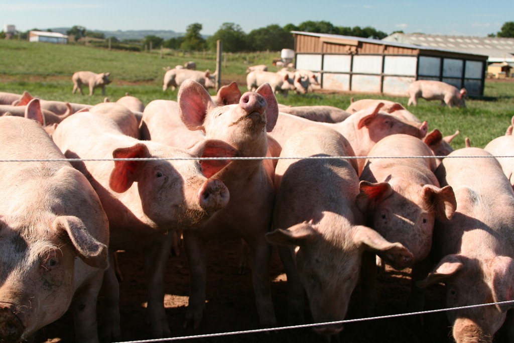
The walks to Primrosehill Wood are rather pleasant, at Manley Common we were inspected by enthusiastic pigs.

IMG_6920

Pigs!

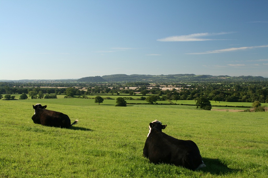
We also saw a lot of cows:

IMG_6900

Cows looking towards Beeston Castle

And a llama (rather further along the Trail):

Llama

LLama

The llama was very inquisitive, perhaps overly so since there was a small diversion around its field with a note highlighting that dogs and walkers with sticks had interacted with it rather more than was strictly desirable. As we walked past its field it followed us very closely over the fence with a look of what could have been either llamaly inquisitiveness or aggression.

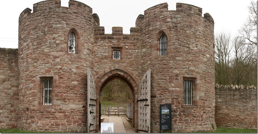
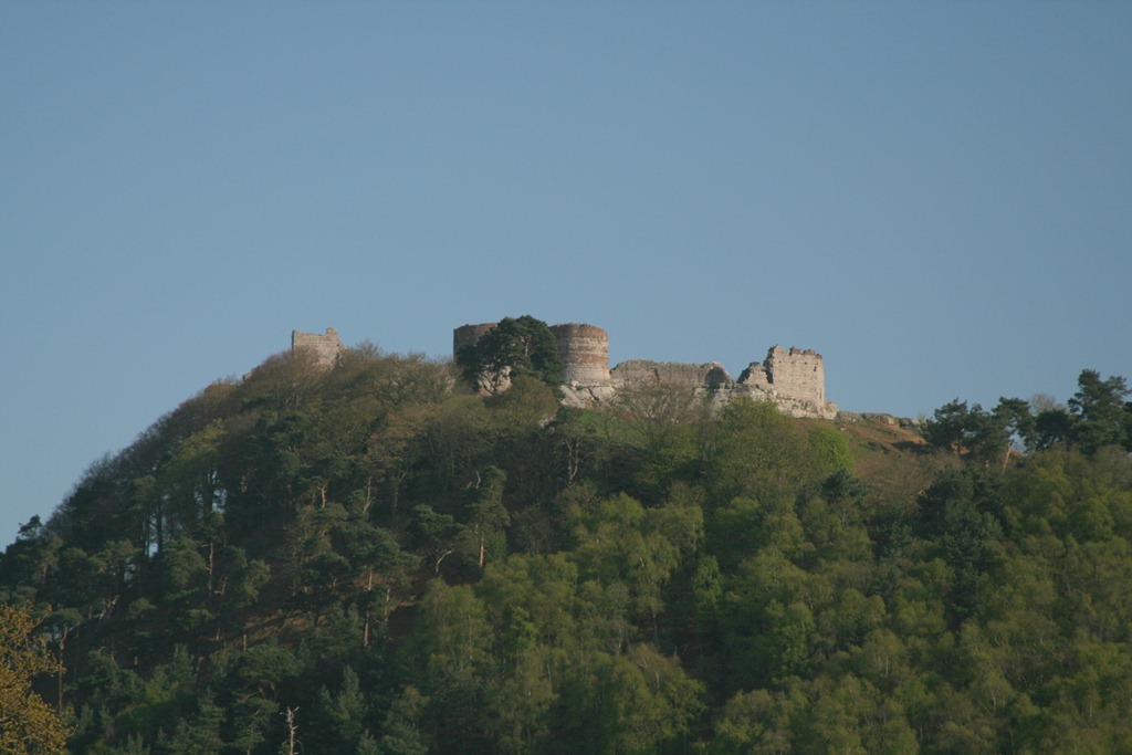
For me the Tarporley and Beeston Castle walks were a bit of a slog, they span the Cheshire Gap, a flat area of clay farmland. The Beeston Castle walk in particular comprises a trip out into the plain and then back again with the Castle the sole point of interest for the whole walk. The Castle is pretty impressive but you have to pay to get in, so we didn’t.

Beeston Castle Gateway

Beeston Castle Gateway

Beeston Castle

Beeston Castle

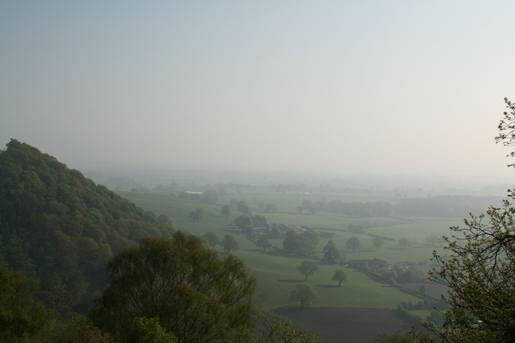
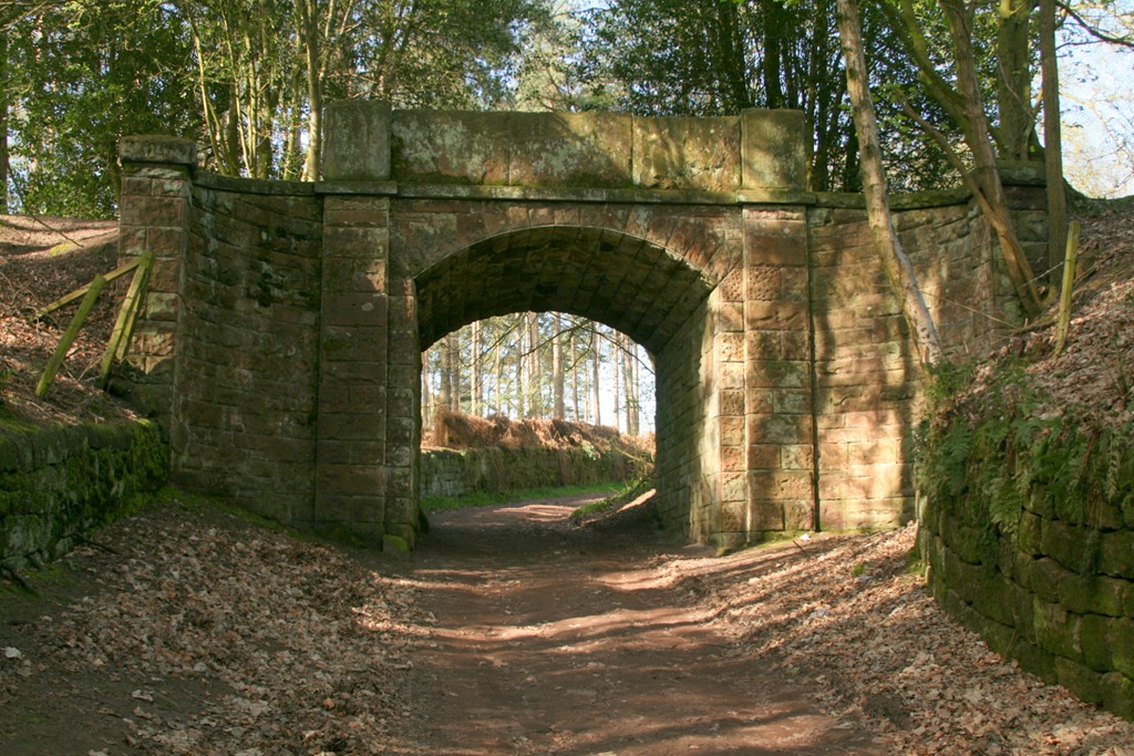
The next three walks, Peckforton, Burwardsley and Rawhead are my favourites, at this point the Sandstone Trail heads up onto a wooded ridge with lovely views in all directions. The Peckforton Estate has left some classy stonework along the route.

View from Bulkeley Hill Wood

View from Bulkeley Hill Wood

Haunted Bridge

Haunted Bridge on the Peckforton Estate

Misty view from near Rawhead

Misty view from near Rawhead

The last four walks: Hampton Heath, Malpas, Tushingham and Whitchurch take you off the  ridge for more walking across rolling farmland with a couple of stretches along the canal. We did manage to get very wet one day:

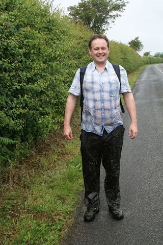
Ian

Me, wet

This was achieved by crossing a field of oil seed rape not long after heavy rain, I think this is the wettest I’ve ever been following a walk (and I’ve walked in the Lake District!). As you can see the crop reached a height of approximately five feet and held an awful lot of water.

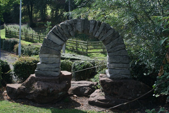
I must admit to not being too fond of this type of walking but we could not leave walks undone. This little arch, in Jubilee Park in Whitchurch, marks the end of the Sandstone Trail.

End of the Sandstone trail

End of the Sandstone trail

You can see the GPS tracks I captured on the walk here in Google Maps.

Reeth

2, Nurse Cherry's CottageIn a change from usual service we went to the Yorkshire Dales rather than the Lake District for our summer holiday, this is the land of my father – whose family lived, and still live for the most part around the southern edge of the Dales. We stayed in a cottage in Reeth (2, Nurse Cherry’s Cottages), recently built but in the old style. The advantage of this are that it’s spacious and the plumbing was not added as an afterthought. I think the cottage was advertised as sleeping up to four people, with two bathrooms and a downstairs toilet it would take 6 pretty comfortably. We are only two, so had plenty of room. We arrived in a downpour but for the rest of the week the weather was pretty good. Reeth is a small village which was once a centre for mining and farming but now is a centre for tourism – lying in the Yorkshire Dales and on the coast to coast path. It’s dominated by a large central green, although there are older buildings many are quite modern but built in the same style as the older, using the local stone.

Day 1

A pleasant walk up Arkengarthdale to Langthwaite, and back along Fremington Edge Top. The walk outwards is through pasture and many narrow styles in stone walls with little gates to prevent sheep escaping. Shortly before Langthwaite there is a footbridge across the river which takes you to a short walk through woodland before climbing up through old lead mine workings up onto Fremington Edge Top. We took the route which avoided the hamlet of Booze, considering that it was so small that it was unlikely to have a good quality sign to picture ourselves besides. Nearby is Blea Barf, and at the top of the valley on the road over into Hawse is Lovely Seat, one can’t help thinking that when the Ordnance Survey visited the locals had some fun.

The walk along Fremington Edge Top is dead straight along the side of the wall. I wonder whether these walls date to the time of the old iron fence posts in the Lake District – perhaps relating to some Enclosures Act. The wall runs along the edge of wild moorland to the north and after a pleasant, if not a little windswept walk you drop back down towards Reeth.
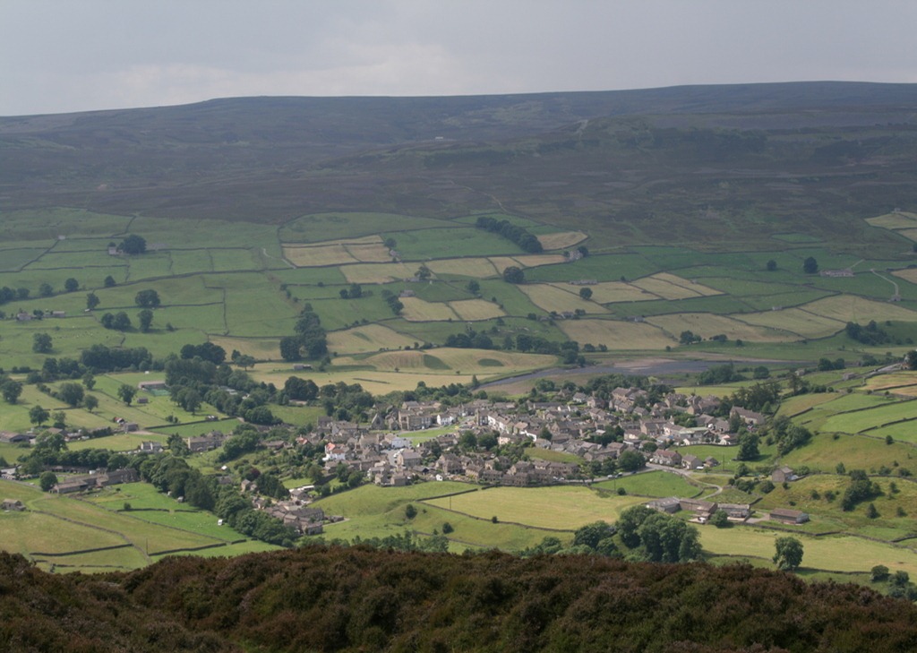
Reeth

Reeth viewed from Fremington Edge


Day 2

A route from The Green Book starting at Gunnerside, heading to Muker then up Upper Swaledale towards Keld and then back towards Muker via the Pennine Way and so along the river back to Gunnerside. Highpoints were the waterfalls at the foot of Swinner Gill and Kisdon Force. Photographers will know there is a knack to photographing waterfalls such that the water appears milky rather than frozen in time by a short exposure. The problem is this requires long exposures (about 1/2 second) and this is a bit tricky to do without a tripod – a handy rock or handrail must suffice instead. Crackpot Hall was also interesting, the term Hall is rather grandiose but the views down Swaledale were spectacular. Much birdlife to be seen including a greater spotted woodpecker, dipper, spotted flycatcher, grey wagtail, plover – no photos of these since that requires patience, speedy reactions and so forth. Lapwings all over the place.
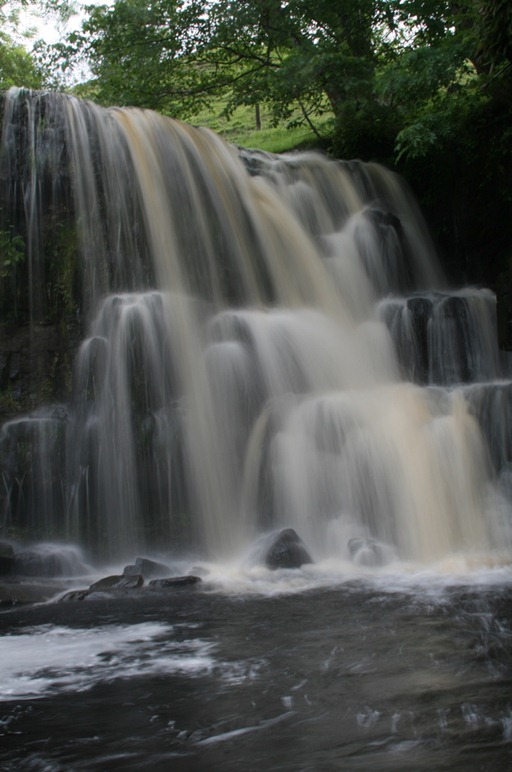
Kisdon Force

Kisdon Force

Day 3

A more restful day today: we headed down to Harrogate and the RHS Harlow Carr garden. This is horticulture, so I’ll leave the details to The Inelegant Gardener. It’s a fairly lengthy drive down to Harrogate from Reeth – a little under an hour and a half. My abiding memory will be of coffee and Fat Rascal in Betty’s Tea Rooms, attached to the gardens but not providing a route in or out. After a morning at Harlow Carr we headed back home via Richmond: a rather smart little town on a steep hillside with a huge castle (and more waterfalls). The Market Square would be spectacular if it weren’t for a flotsam of cars which spoil any photo. Sharon and I both seem to suffer from a list which prevents the photography of buildings without post-processing. A balanced diet today of Fat Rascal, sausage roll and icecream, available from the icecream shop in Reeth a mere 100 yards from our door (via shortcut).
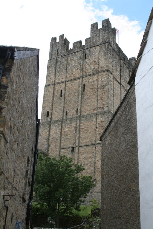
Richmond Castle

Richmond Castle

Day 4

Back to walking, this time one of my own devising. Starting from Gunnerside we headed up Gunnerside Beck until we reached the lead workings at Melbecks Moor. There a several sets of ruined buildings and mine tailings as you head up the valley. After climbing up through the surface workings we got onto the moor top where were visible grouse, grouse grit stations (where they can pick up grit for their gizzards) and grouse butts from where they can be shot at. You have to get pretty close to grouse before they break cover. Finally, we dropped down into the valley where we got a little lost (and quite badly nettled) trying to find the path through Rowleth Wood. Once on the path through the wood, which is narrow and overgrown, we were further nettled and as I write now a couple of hours later my legs are still tingling from the knees down.

After our walk we visited the Swaledale Museum, which although small was highly informative on the local mining industry – a subject I shall return to in another blog post.
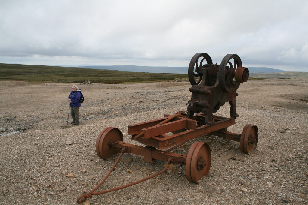
Stonebreaker, with Sharon in background

Stonebreaker, with Sharon in background

Day 5

Over to Wensleydale for our walk today (from the Green Book), from Bainbridge up to Semer Water (a rare natural lake in the Dales) and then onwards and back via the Roman Road. The Roman Road was very straight, and as usual somewhat disappointing – it requires a great deal of imagination to call up the requisite Roman soldiers. The weather was rather better than yesterday which was overcast and prone to the odd shower; today it is a little cool out of the sun.
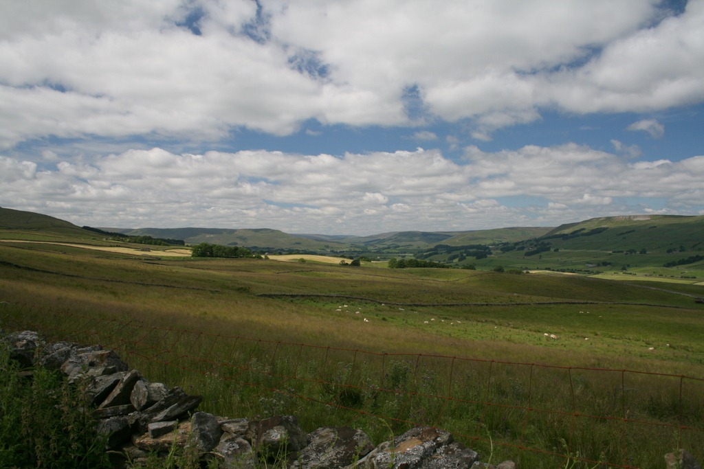
Wensleydale from the Roman Road

Wensleydale from the Roman Road

Day 6

Final day, today we went back to Wensleydale for a walk from the Green Book starting at Aysgarth Falls and taking in Bolton Castle. The Falls are a bit of a disappointment, the approved viewing locations are a little distant from the falls and are rather confined. Richmond falls offer something similar, with slightly peaty-brown water cascading over flat slabs, but with much better access. Bolton Castle, on the other hand is rather impressive, visible on the valley side for many miles it is a solid, square chunk of masonry. It was built for Richard de Scrope in 1379, and is quite substantially intact.
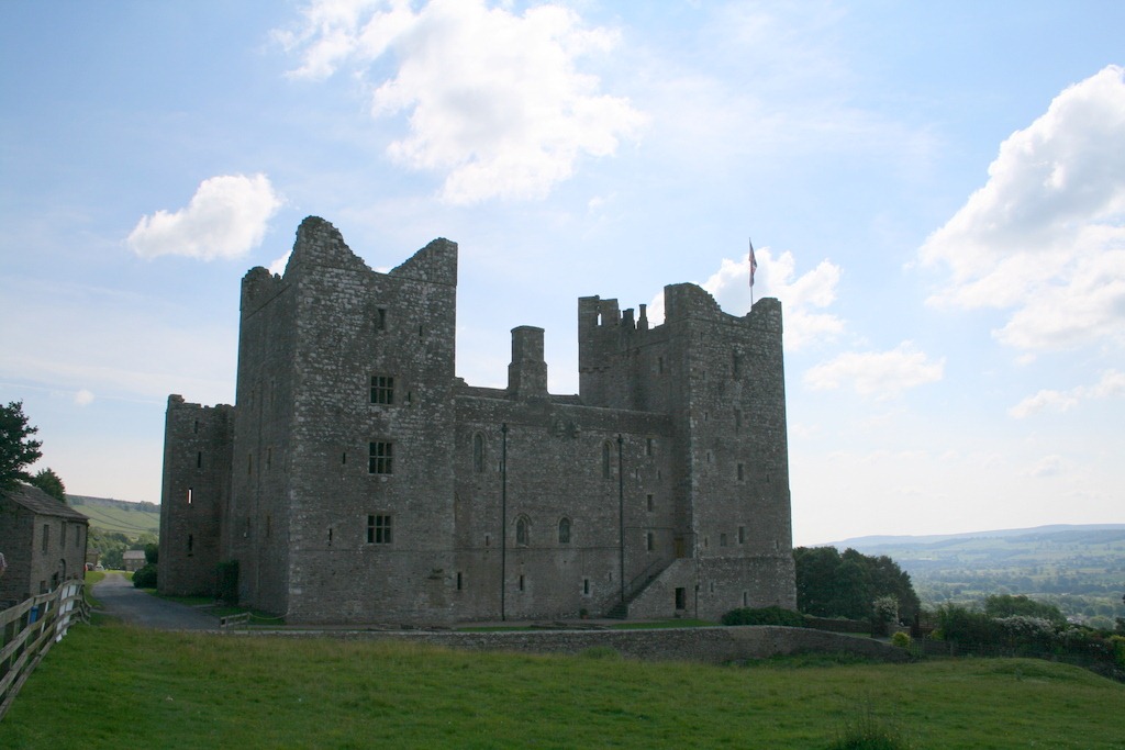
Bolton Castle

Bolton Castle


The Yorkshire Dales are quite different from the Lake District: the peaks are less peaky, the valleys wider and more gentle, although the moors can be bleak when the wind blows and the clouds come down. There are also a lot of picturesque waterfalls, not in the style of the Lake District which tend to be frenzied plummets down ravines but cascades over broad rocky shelves. Villages like Hawes and Reeth can get quite busy as the day goes by but out walking we scarcely saw a soul. The stone walls are all pierced with small stone stiles, which have been the distinguishing feature of this holiday.
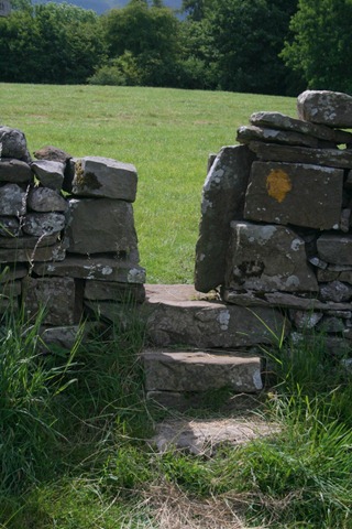
Stone Stile

More photos here.